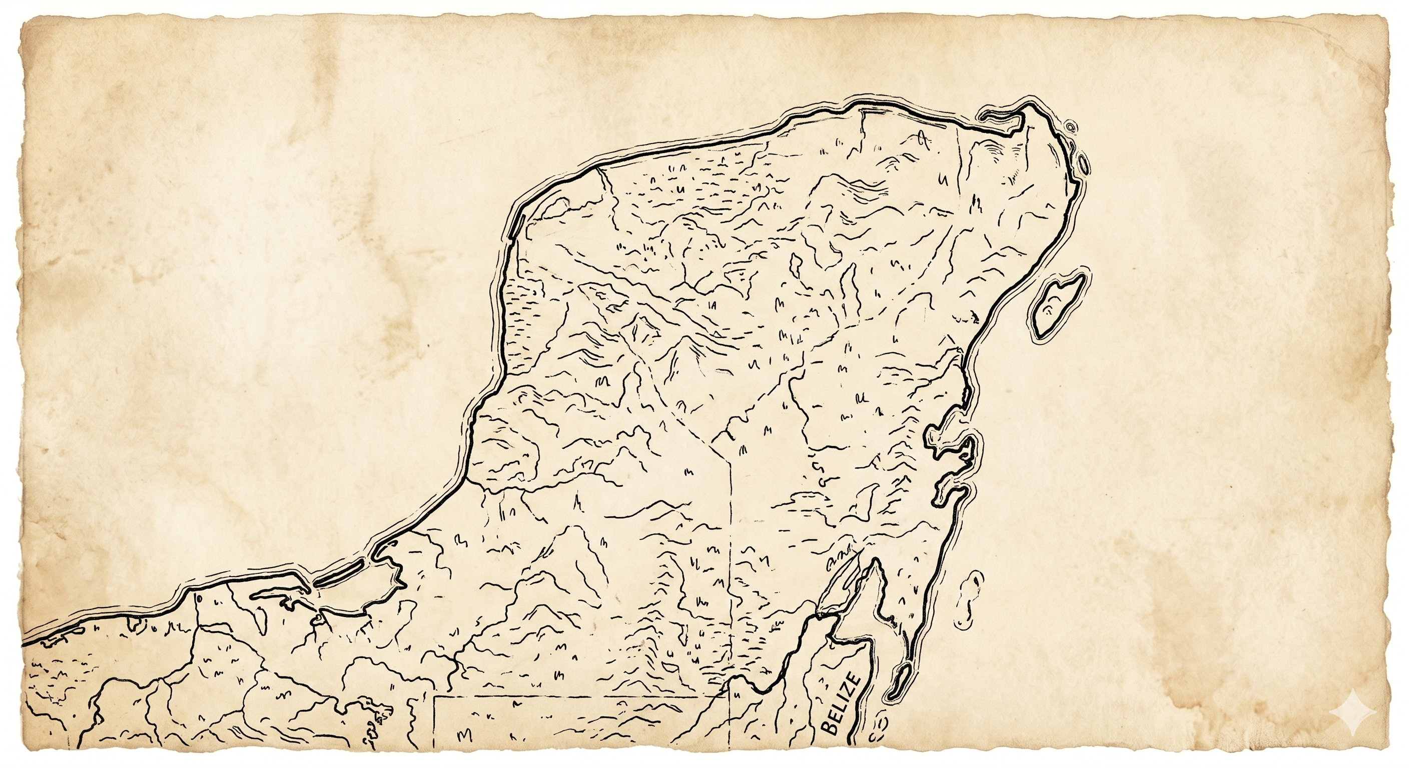
A flat shelf of porous limestone, jutting between the Gulf and the Caribbean. Few rivers run on its surface — they run beneath it. Where the roof of a cave gives way, the water comes into the light, and a cenote is born.
 Yucatán
Quintana Roo
Campeche
Mérida
20.97° N · 89.59° W
Cancún
21.16° N · 86.85° W
Playa del Carmen
20.63° N · 87.07° W
Tulum
20.21° N · 87.46° W
Valladolid
20.69° N · 88.20° W
Chichén Itzá
20.68° N · 88.57° W
Campeche
19.84° N · 90.53° W
Yucatán
Quintana Roo
Campeche
Mérida
20.97° N · 89.59° W
Cancún
21.16° N · 86.85° W
Playa del Carmen
20.63° N · 87.07° W
Tulum
20.21° N · 87.46° W
Valladolid
20.69° N · 88.20° W
Chichén Itzá
20.68° N · 88.57° W
Campeche
19.84° N · 90.53° W
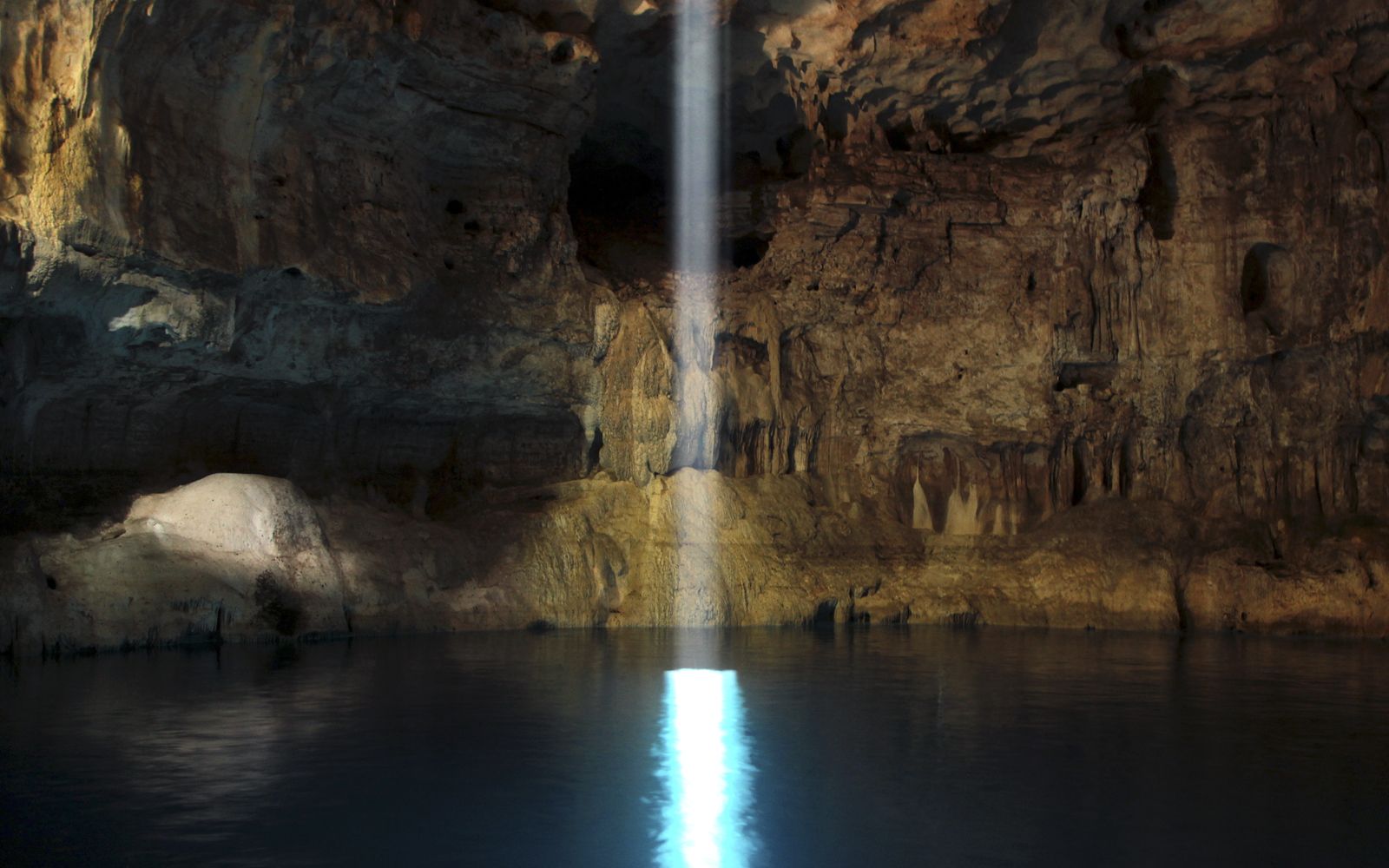
A window into the underworld. The Maya called them ts'ono'ot — sacred wells, openings between the living world and the one beneath.
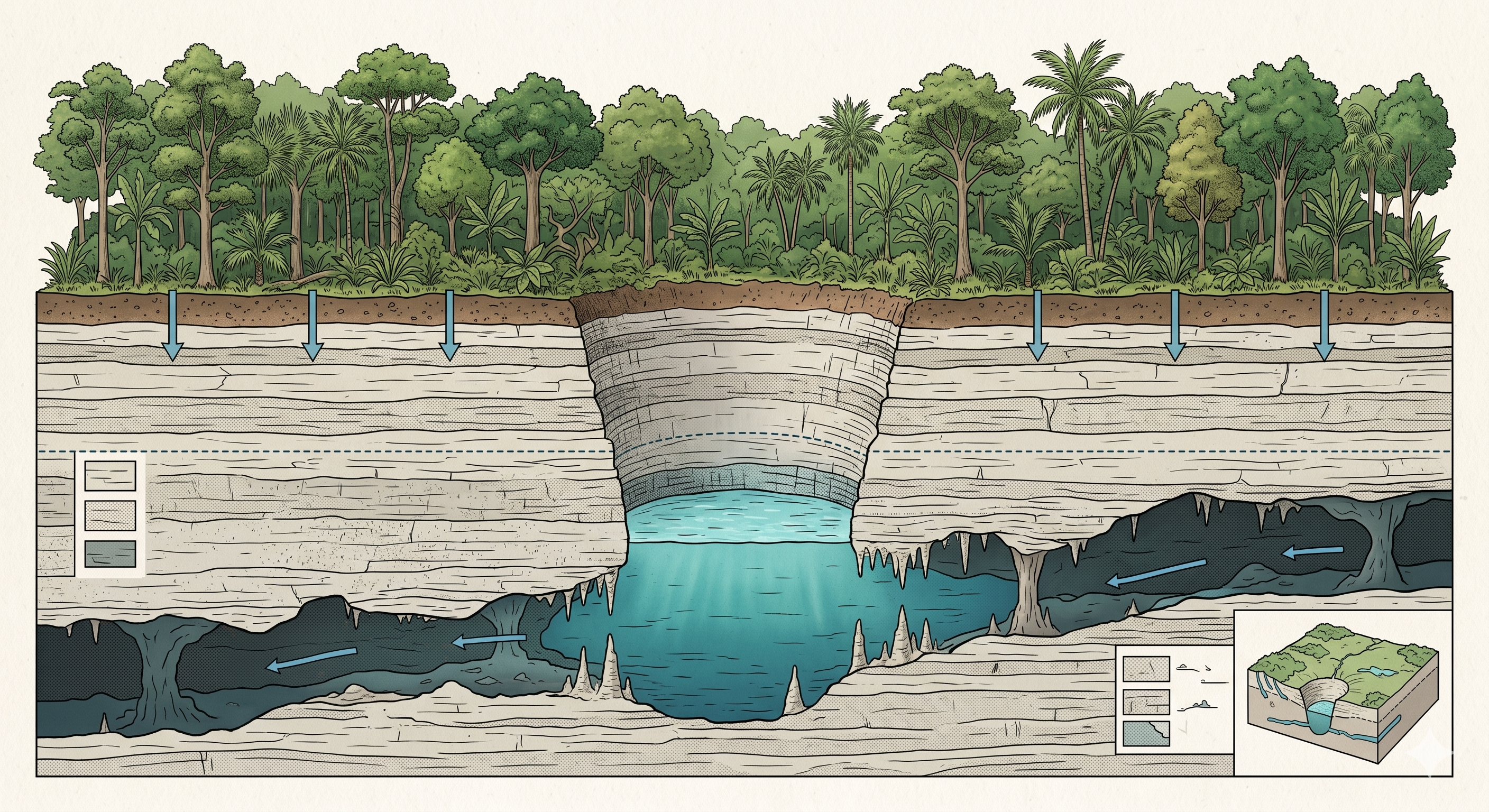
Through millions of years rainwater, slightly acidic with carbonic acid, has dissolved the porous limestone bed of the peninsula. Beneath the jungle, an immense lattice of caverns and rivers formed — the longest underwater cave systems on Earth.
Where the ceiling of a cave collapses, the cenote is revealed: sometimes an open pool ringed by jungle, sometimes a half-roofed cavern shot through with shafts of light, sometimes a deep dark sinkhole reached only by descent.
For the Maya the cenote was a portal to Xibalbá, the watery underworld. Offerings, prayers and — at the great cenotes of Chichén Itzá — even pilgrims were given to its waters. To stand at the rim is still, today, to feel a held breath.
There are no surface rivers in the northern Yucatán. Every drop of fresh water — for ancient Maya cities and for modern ones alike — rises from this hidden network. The cenote is, quite literally, the source.
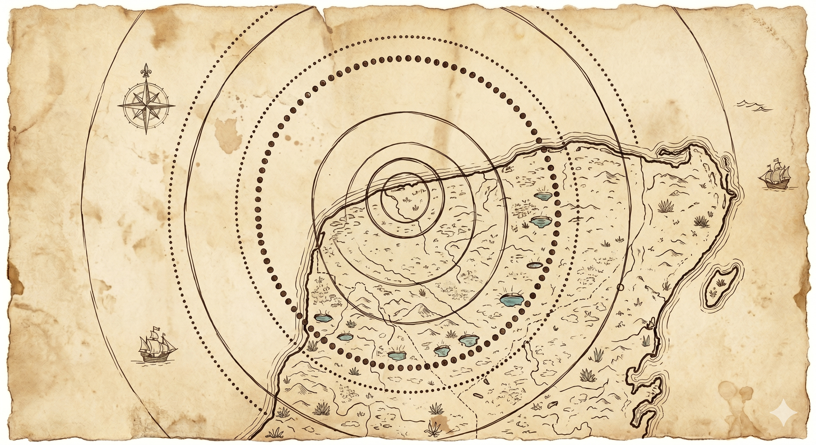
Sixty-six million years ago an asteroid struck the shallow sea where Yucatán now stands. The Chicxulub crater is invisible at the surface — except as a perfect arc of cenotes, traced along its buried rim.
Twelve cenotes, twenty-six photographs. Click any photo to enlarge. Use ← / → to navigate.
Photo 01
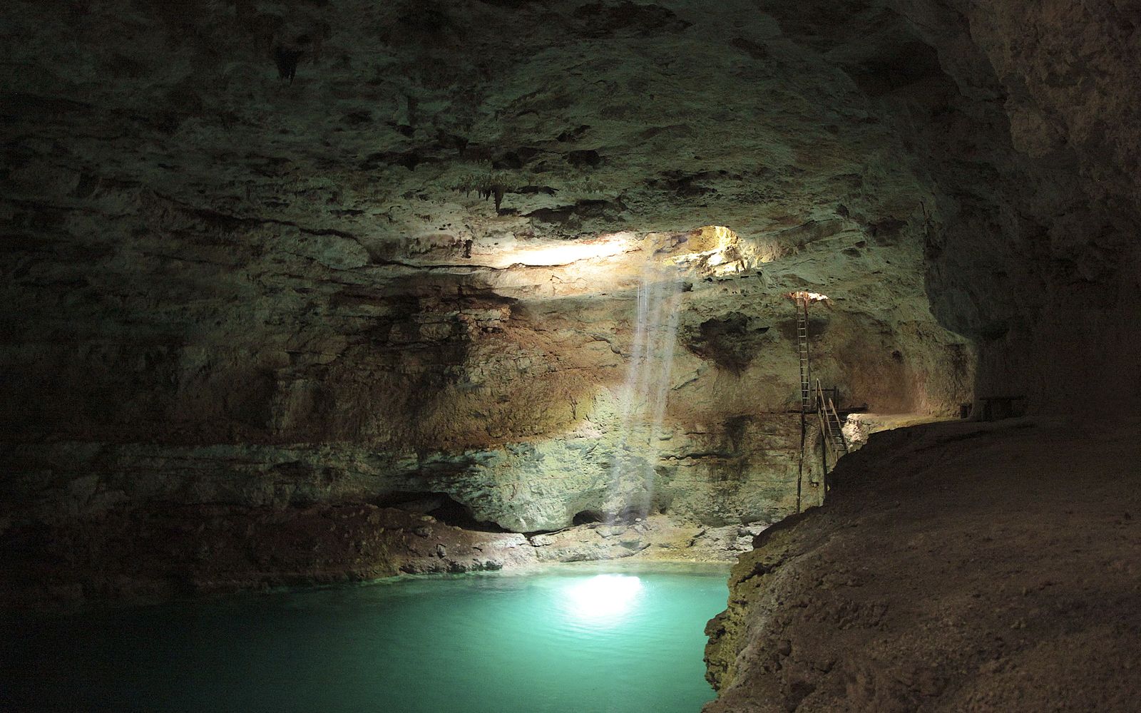 Photo 02
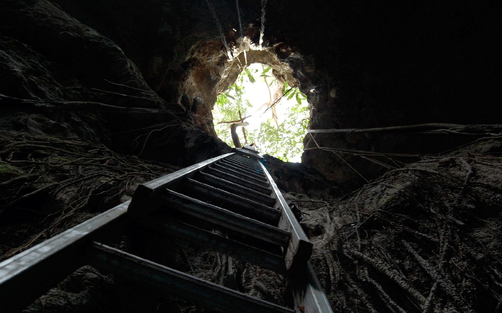 Photo 03
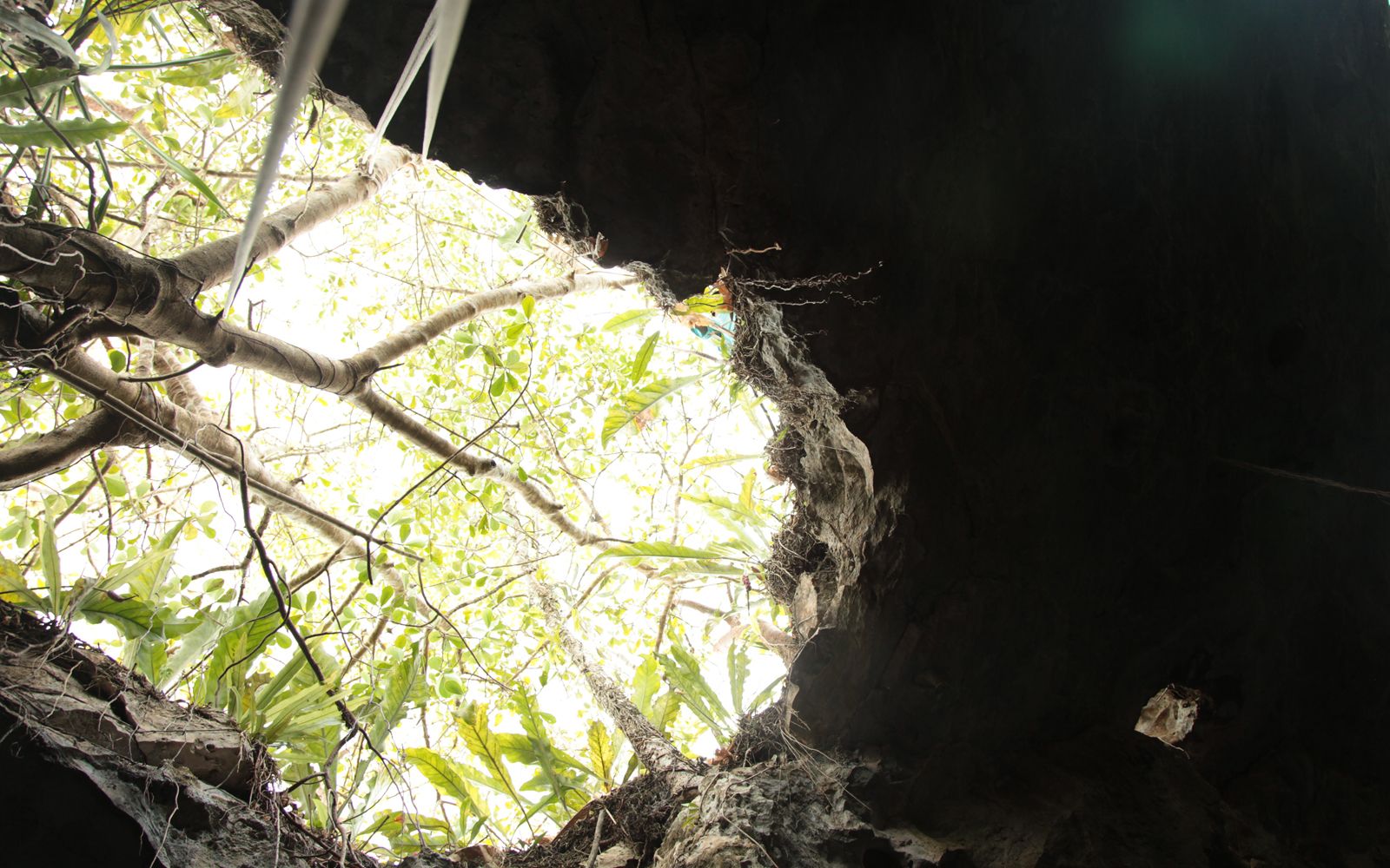 Photo 04
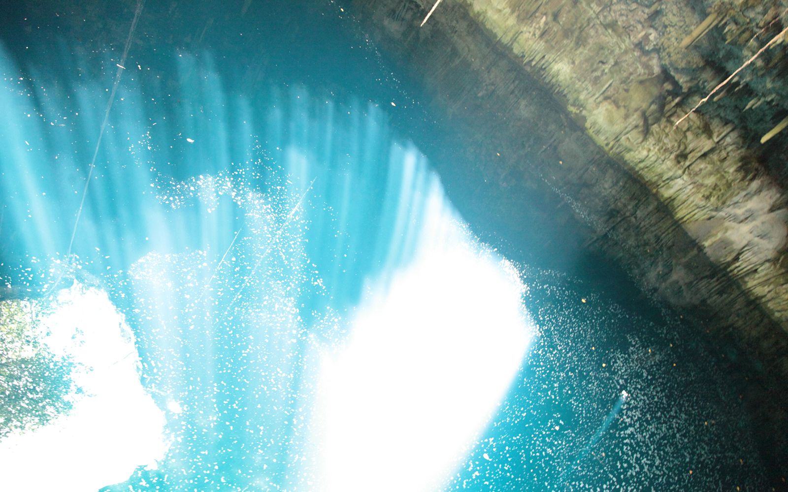 Photo 05
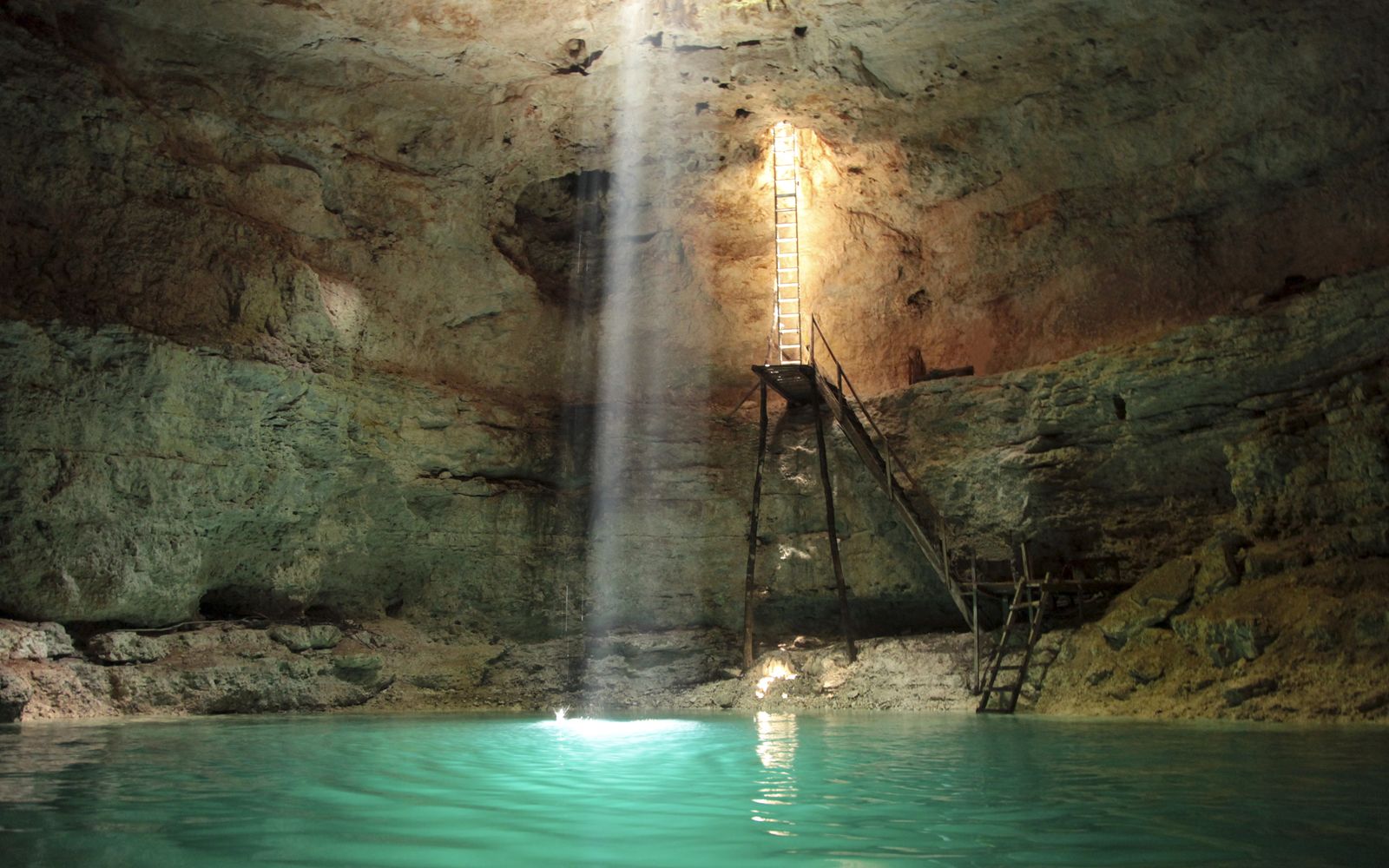 Photo 06
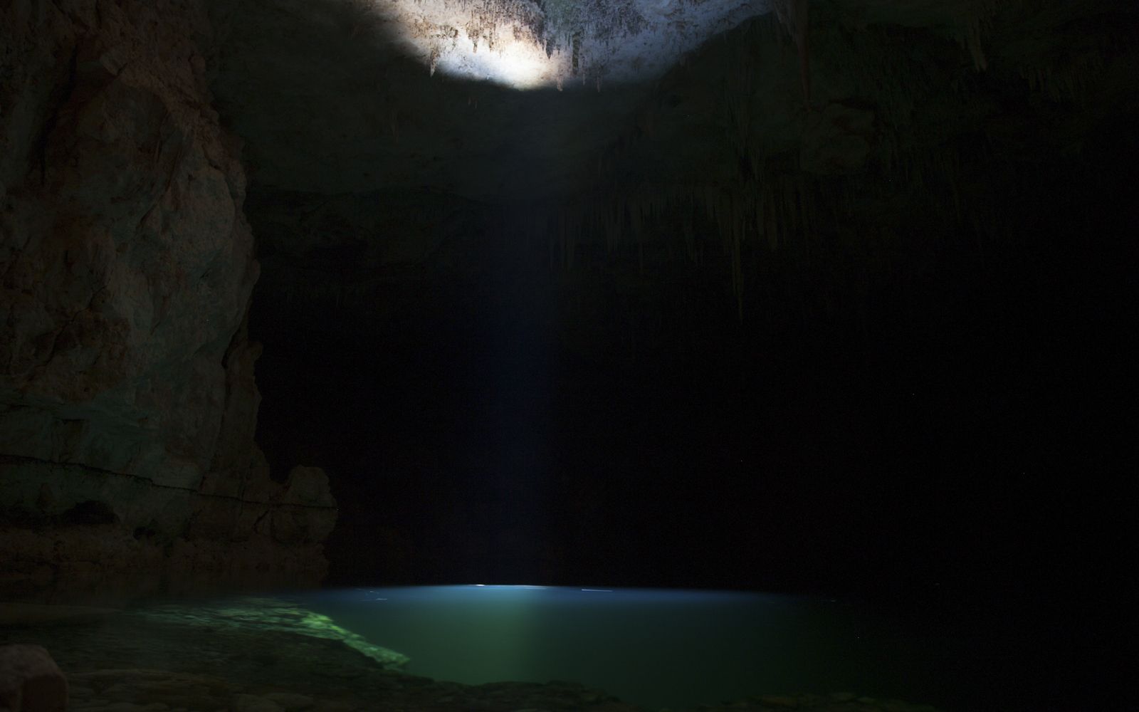 Photo 07
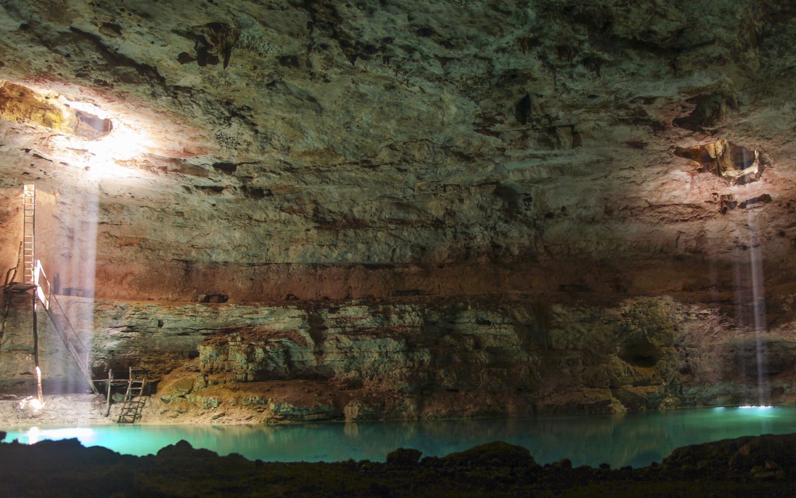 Photo 08
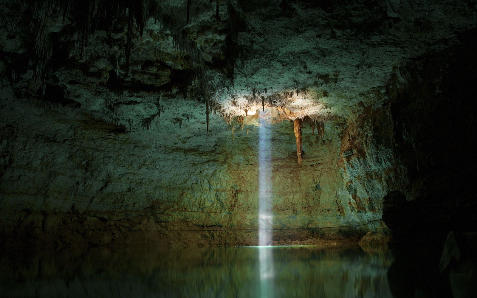 Photo 09
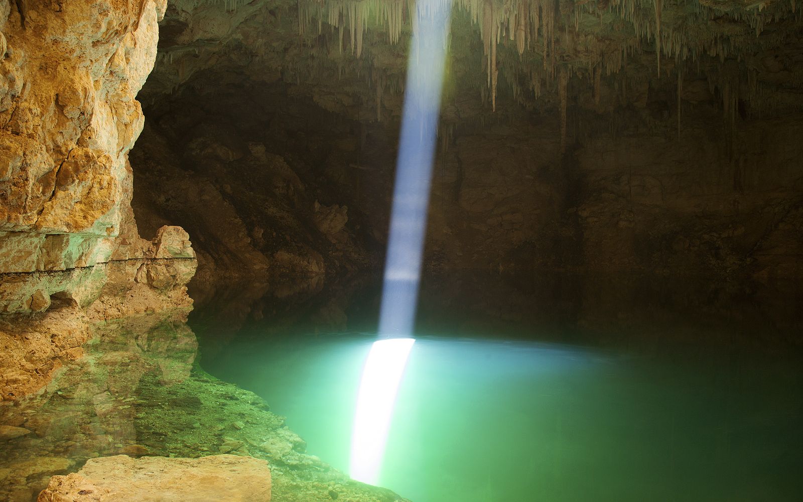 Photo 10
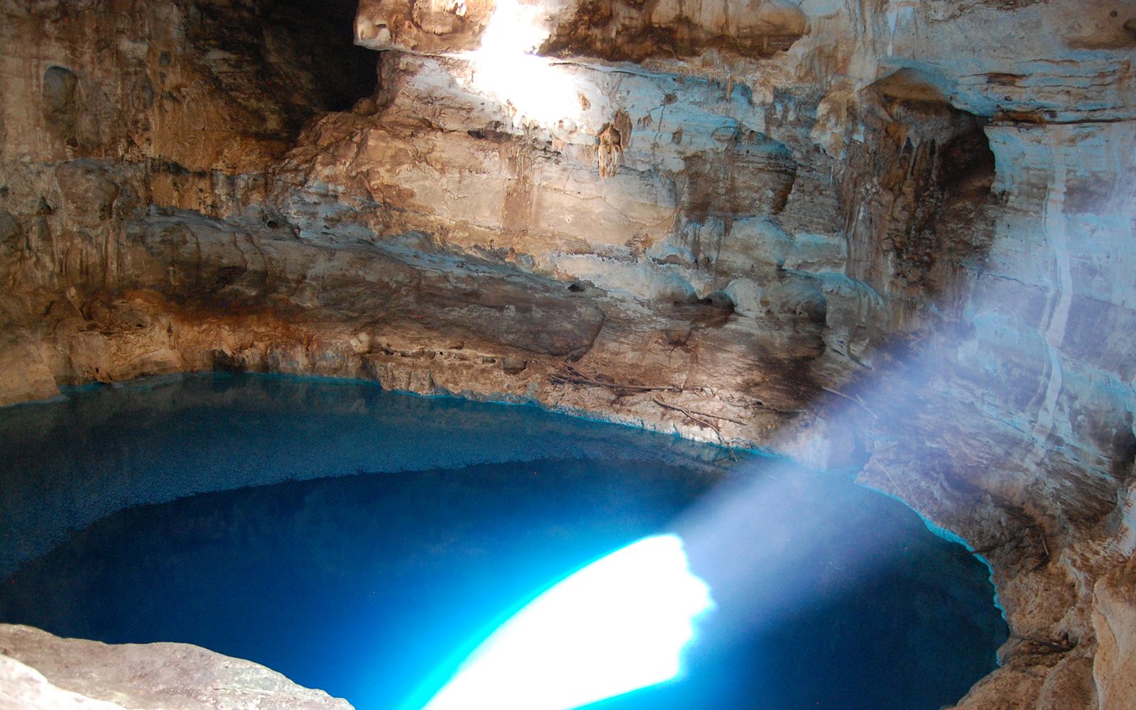 Photo 11
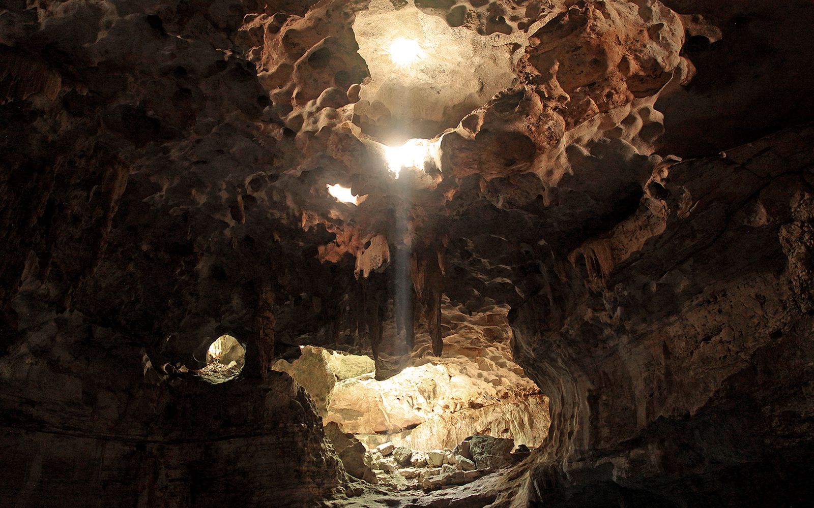 Photo 12
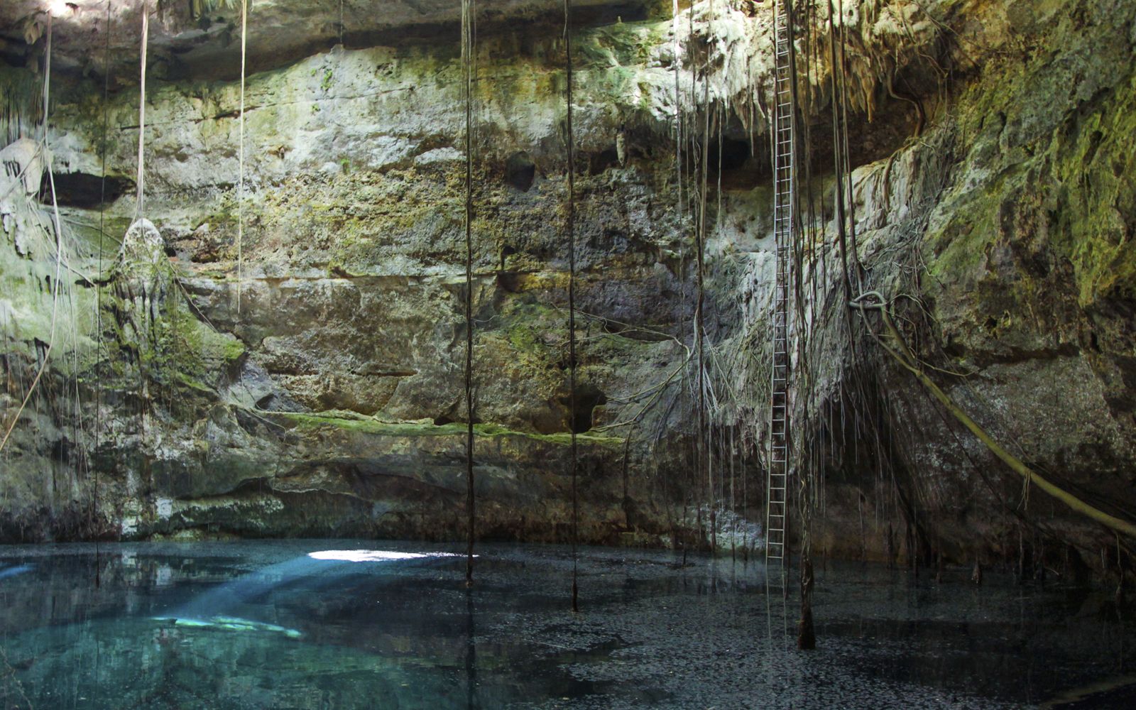 Photo 13
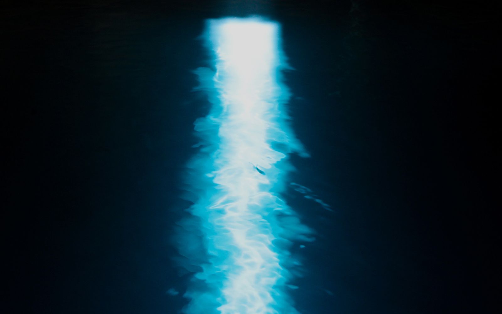 Photo 14
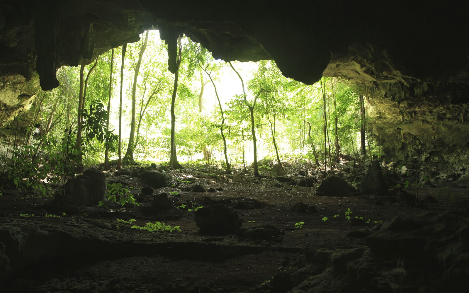 Photo 15
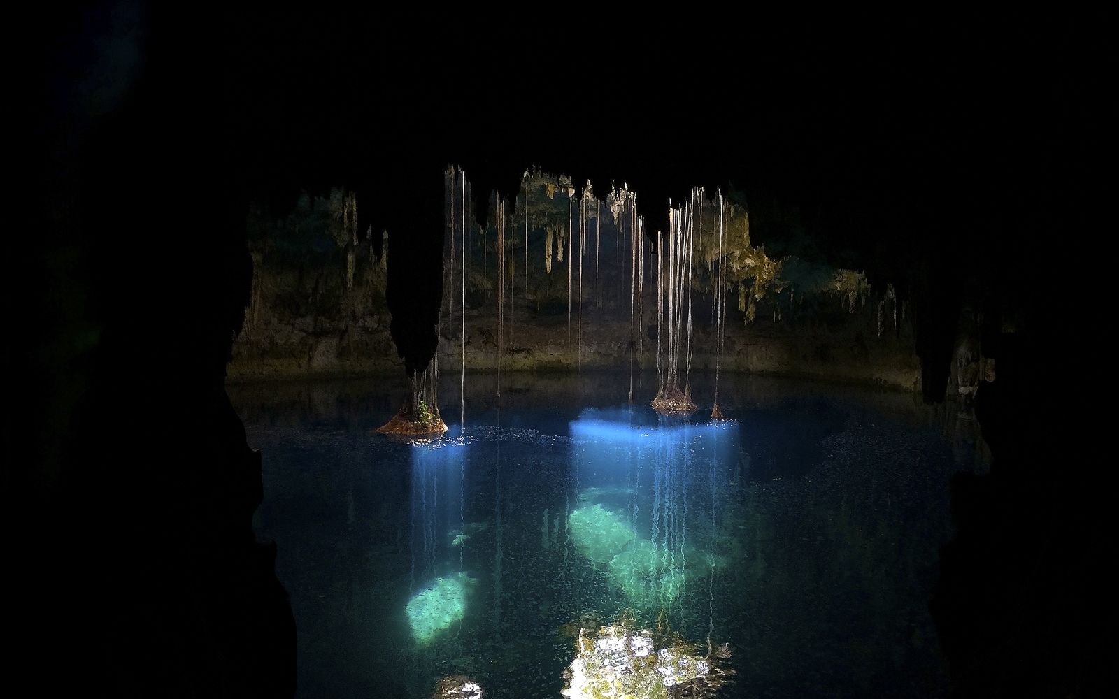 Photo 16
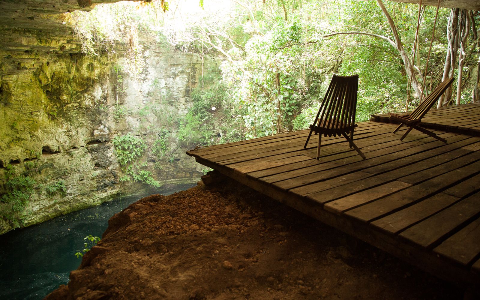 Photo 17
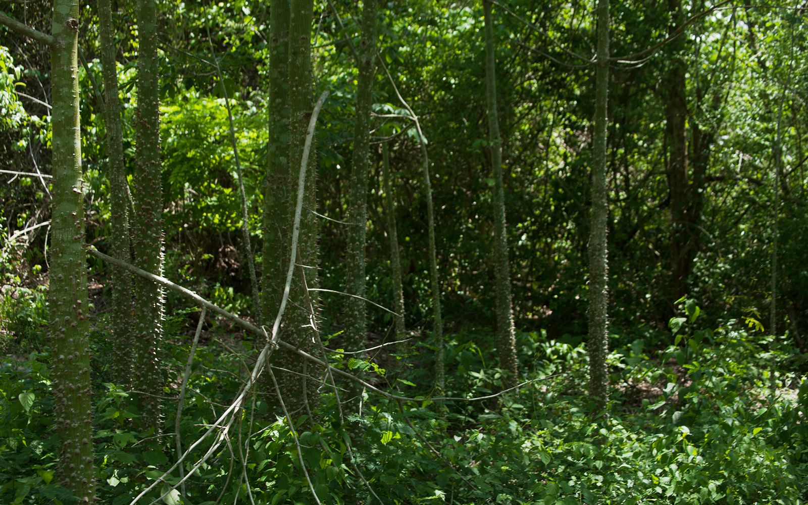 Photo 18
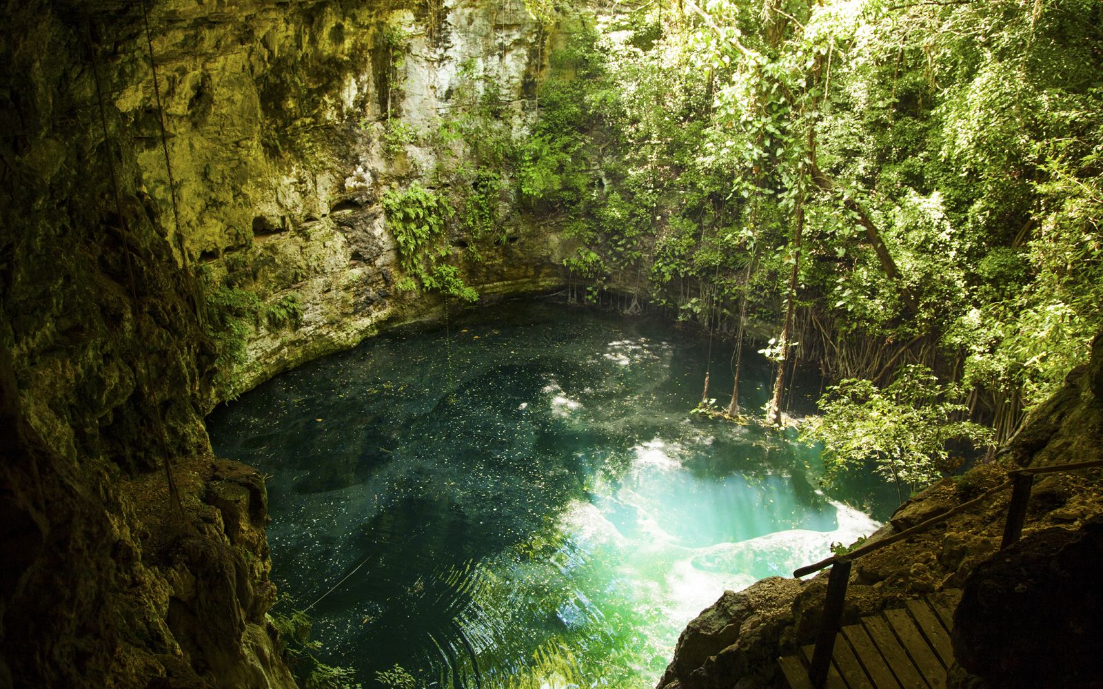 Photo 19
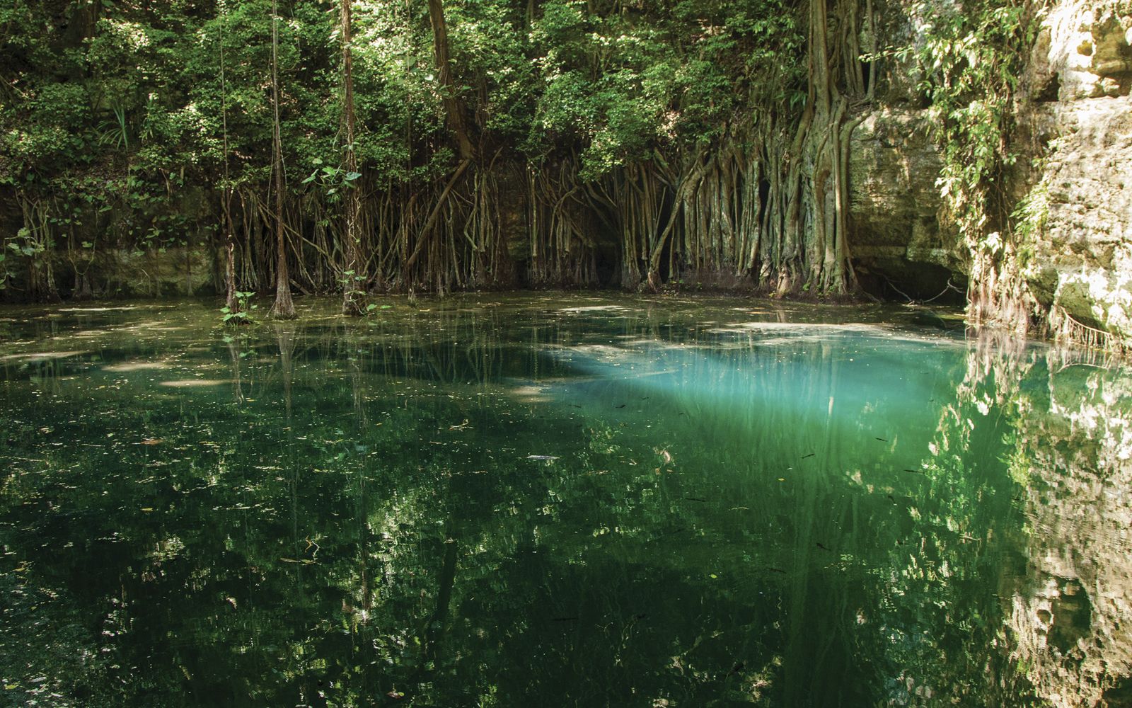 Photo 20
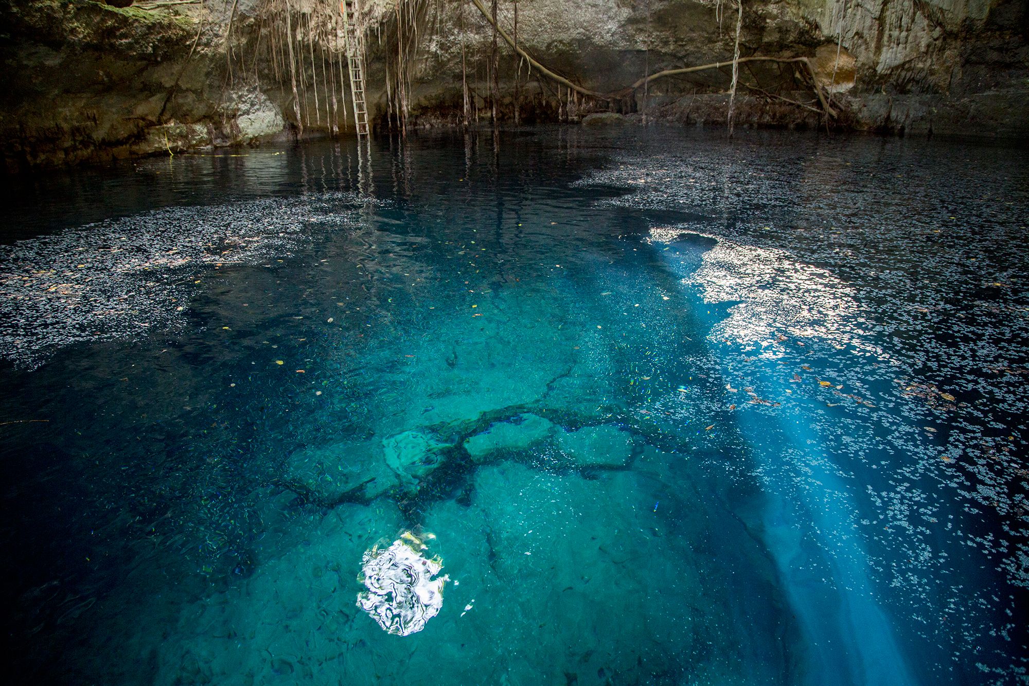 Photo 21
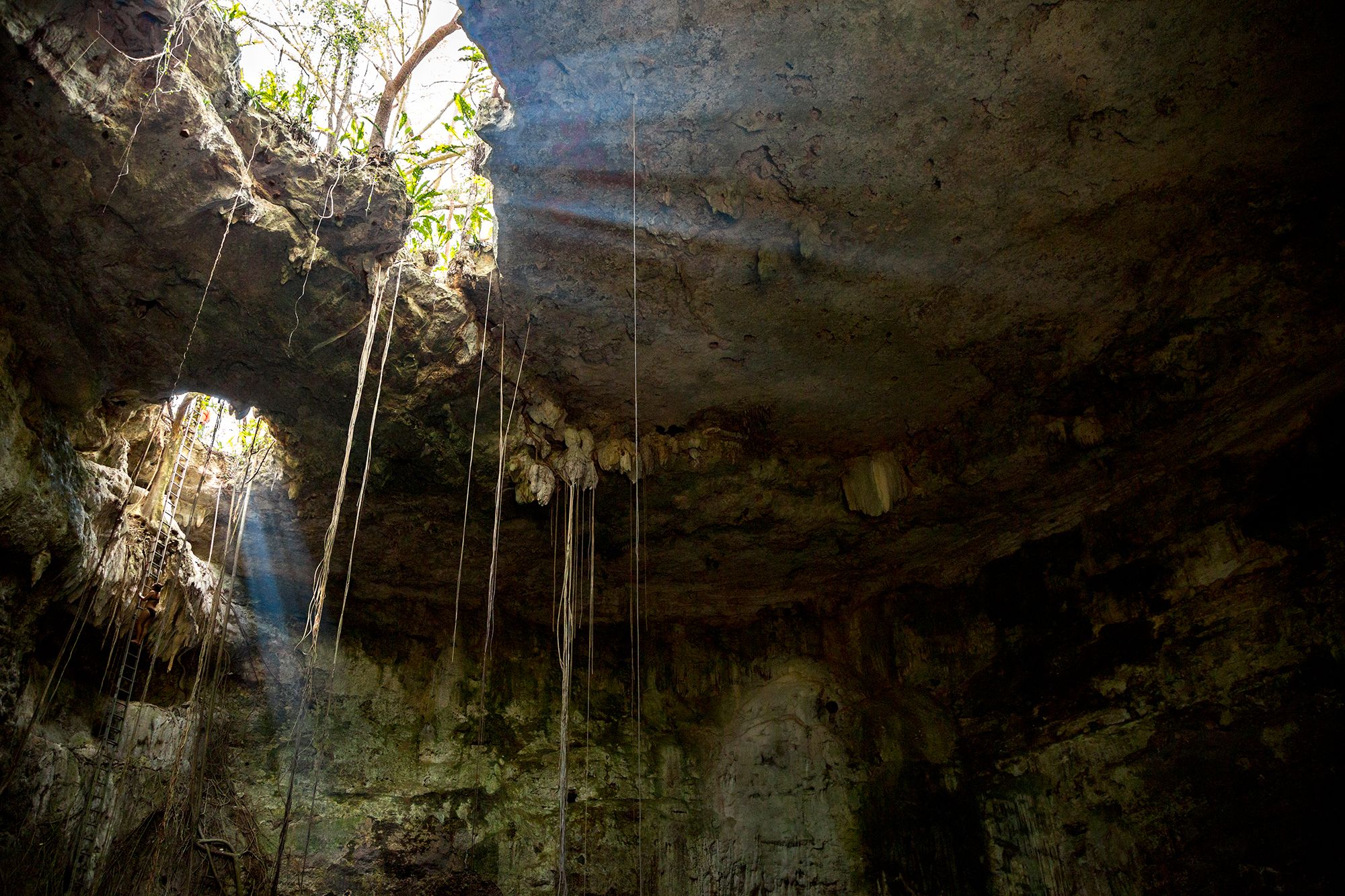 Photo 22
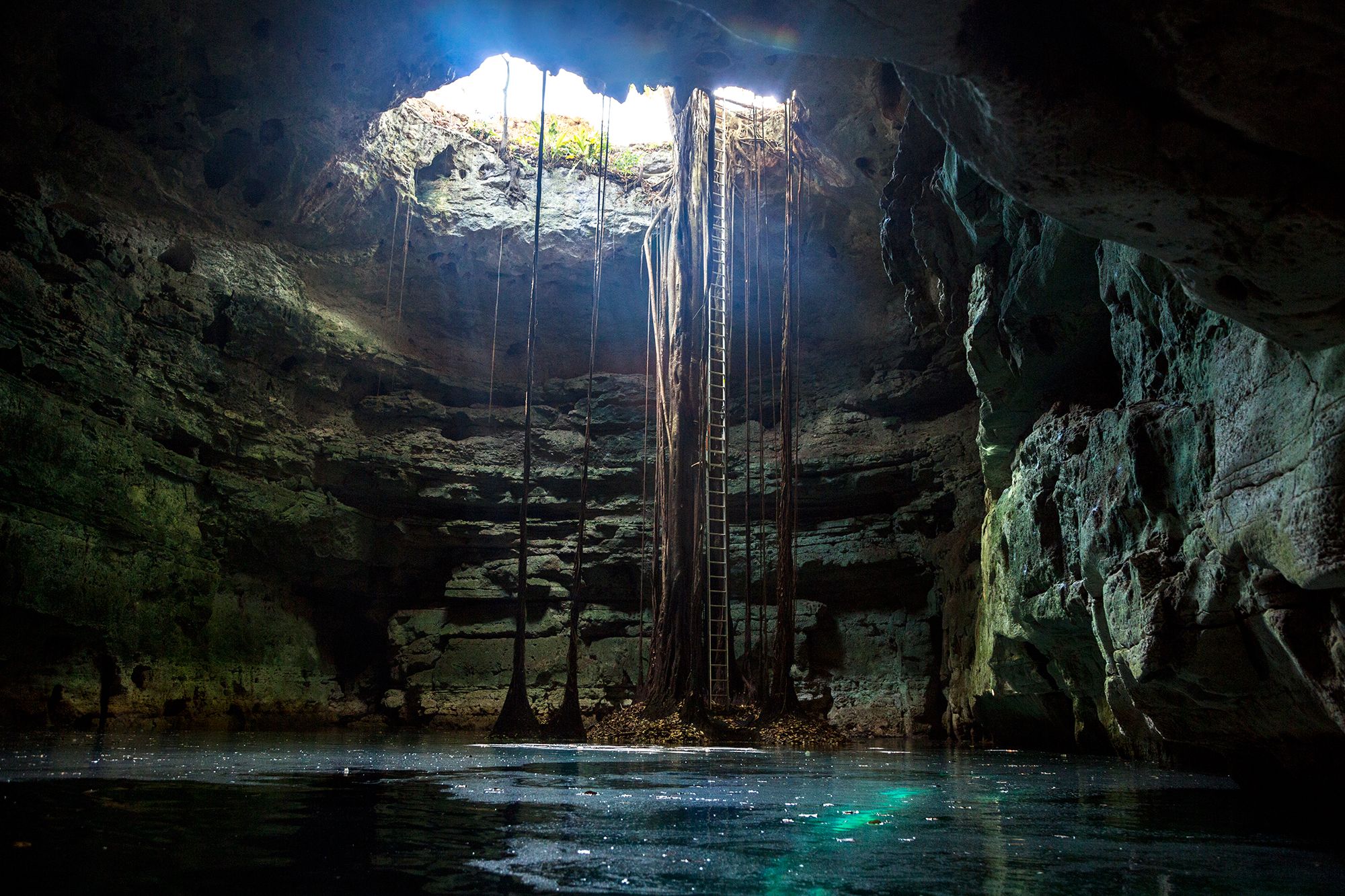 Photo 23
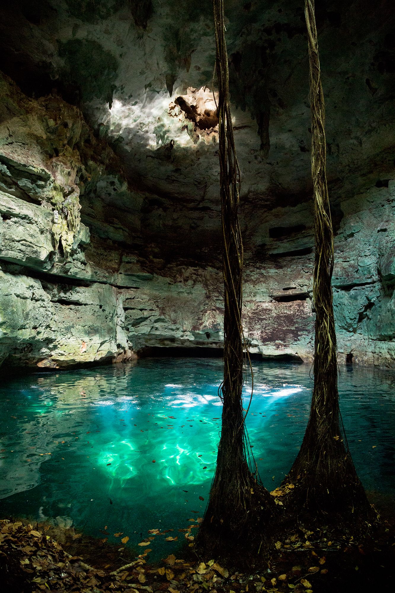 Photo 24
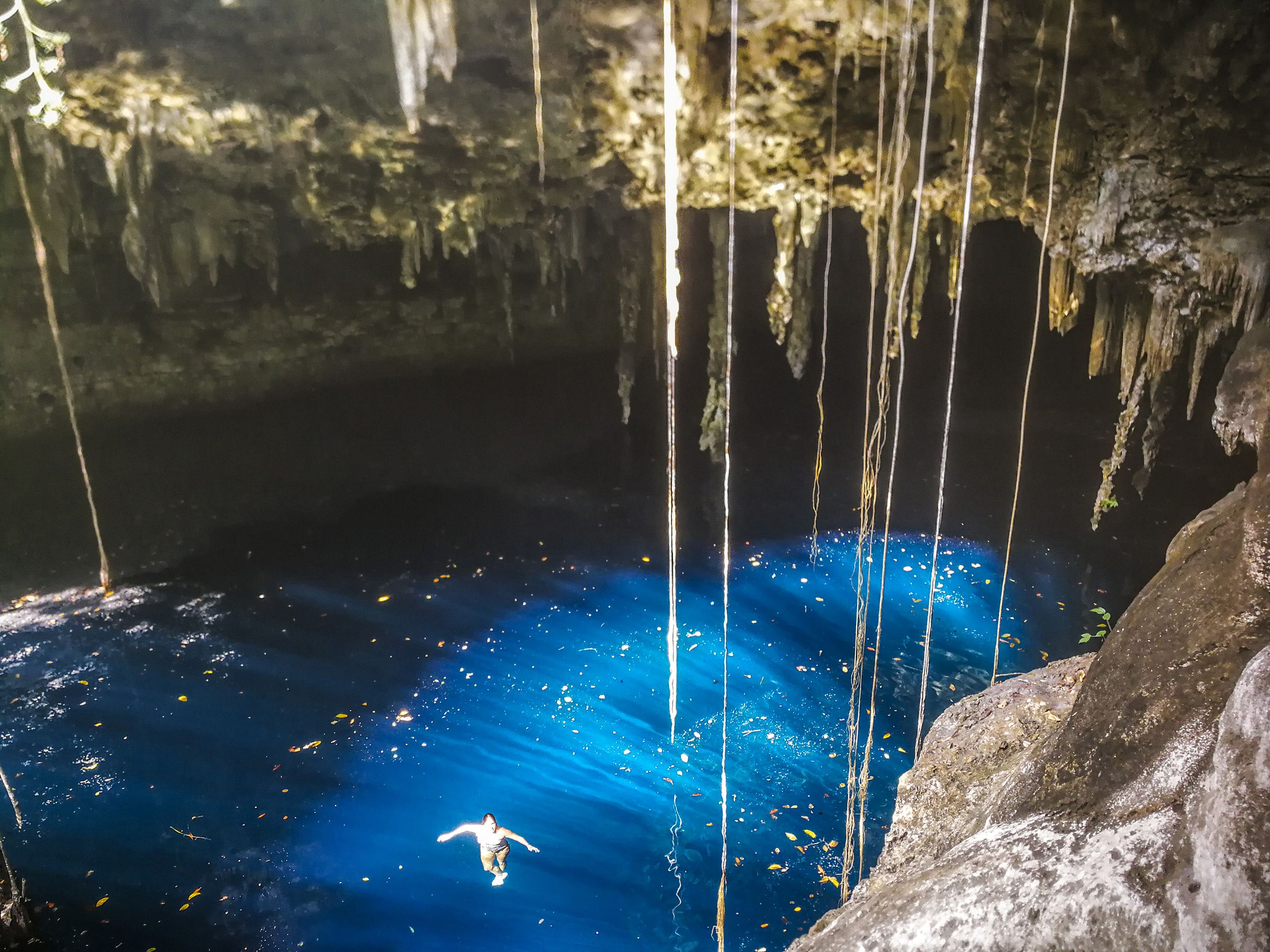 Photo 25
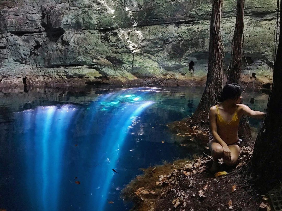 Photo 26
Few cenotes prove viable for purchase and adaptation. We dedicate ourselves to finding those that do — and to placing them in the care of those who will keep them.
Most cenotes cannot be acquired. We search for the rare few — geologically sound, accessible, with the legal clarity that lets a private guardianship begin.
Our holdings cluster in the surroundings of Valladolid, a Pueblo Mágico known for its colonial architecture and its warm, generous people, who welcome visitors from every corner of the world.
Their conservation is essential for the equilibrium of the peninsula. To become the guardian of a cenote is to step into the course of nature — to capture, sustain, and care for its energy.
Selected mentions of Cenote Hunter and the cenotes of the Yucatán in international media.
If you wish to say hello or schedule a visit, write or call. We will reply as soon as we can.
End of the Folio · Yucatán · MMXXVI